Research Program and Philosophy
My research program focuses on advancing quantitative forest ecology through the integration of cutting-edge remote sensing technologies, geographic information systems (GIS), and artificial intelligence (AI). By combining multi-source Earth observation data with rigorous statistical and spatial modeling approaches, I develop open-source tools to deliver detailed, scalable insights into forest ecosystem structure, function, and dynamics. This work supports improved environmental monitoring, natural resource management, and conservation efforts by providing accurate, data-driven solutions across diverse forested landscapes and temporal scales.
I leverage these innovative technologies to enhance environmental monitoring and conservation by creating decision support tools that are both cost-effective and data-accurate. My research thrives in collaborative, multidisciplinary environments, where I contribute expertise across remote sensing, AI, natural resources, and quantitative forest science. I uphold the principles of scientific rigor, replicability, and adaptability to address contemporary challenges in natural resource management.
To maintain these standards, I continually develop advanced statistical methods integrated with remote sensing technologies to quantify forest structure and dynamics, both in natural and planted forest environments. My work centers on pioneering open-source tools for processing large datasets and translating derived information to benefit students, foresters, ecologists, researchers, and industry professionals in remote sensing, programming, and environmental science. For example, I harness LiDAR data from terrestrial, airborne, and satellite platforms, which offers exceptional potential for analyzing and evaluating forest structure in three dimensions across multiple spatial scales.
Research Experience
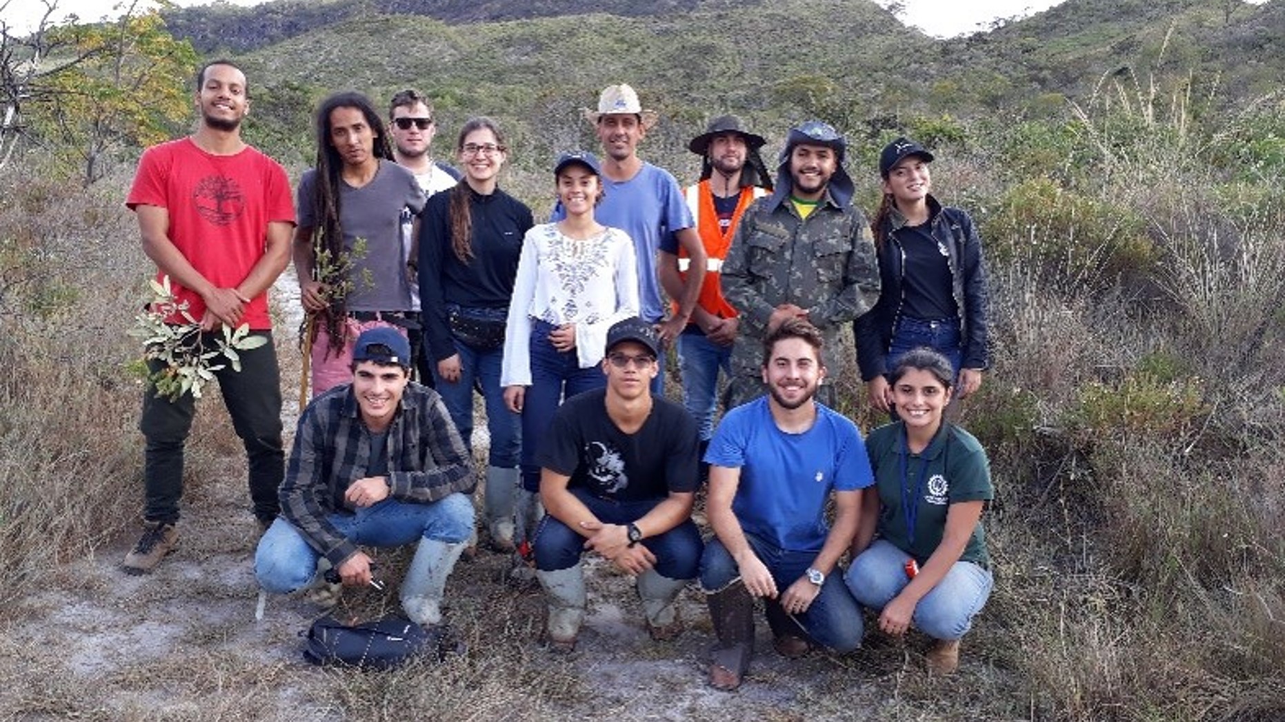
My research experience in remote sensing, AI, and quantitative forest science is deep and diverse. Some of my key projects include:
- Post-hurricane damage severity assessment using terrestrial laser scanning (TLS) and convolutional neural networks (CNNs) to classify individual tree-level damage from Hurricane Michael in pine-dominated forests of the Florida Panhandle. This project resulted in the development of the open-source R package rTLSDeep.
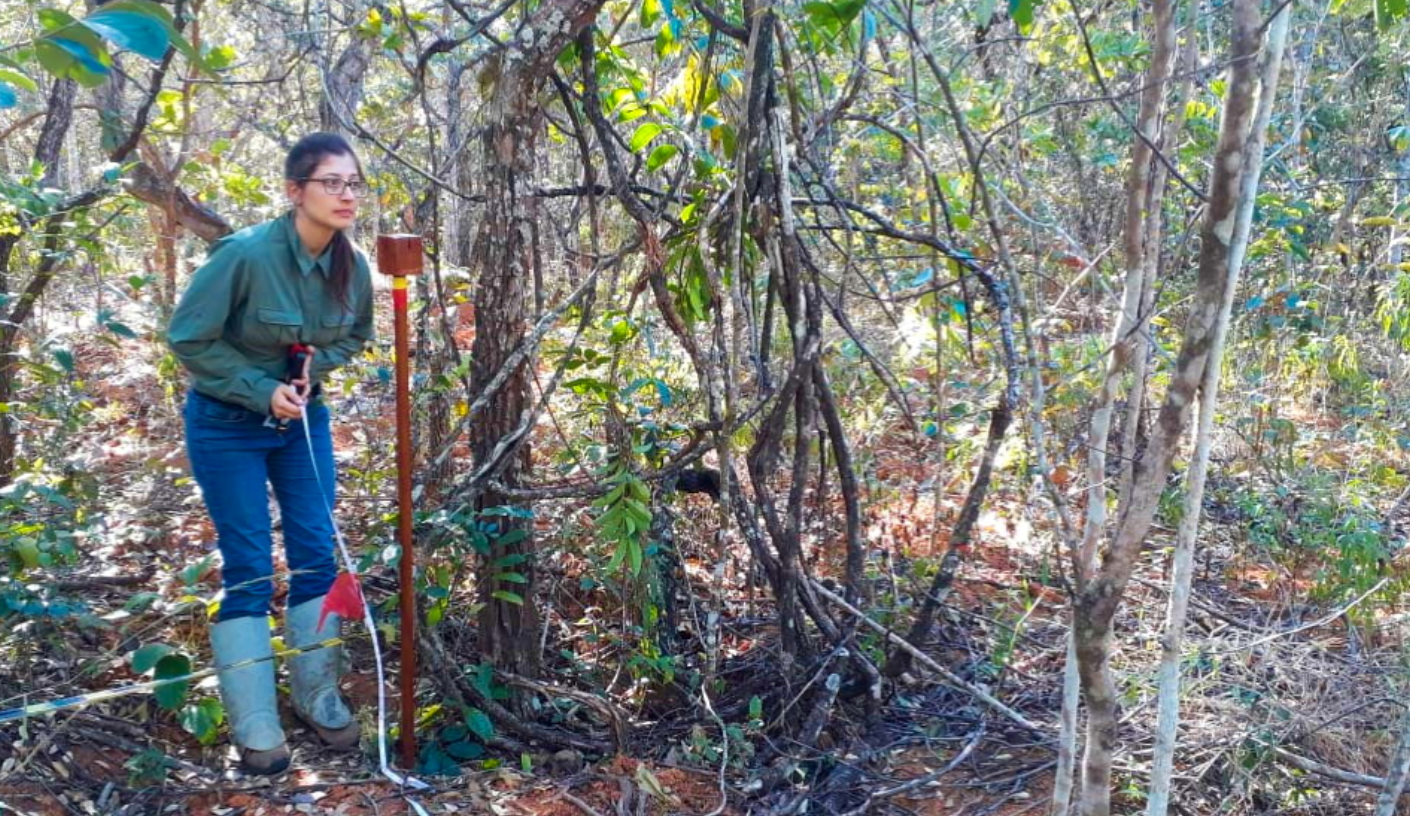
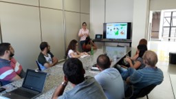
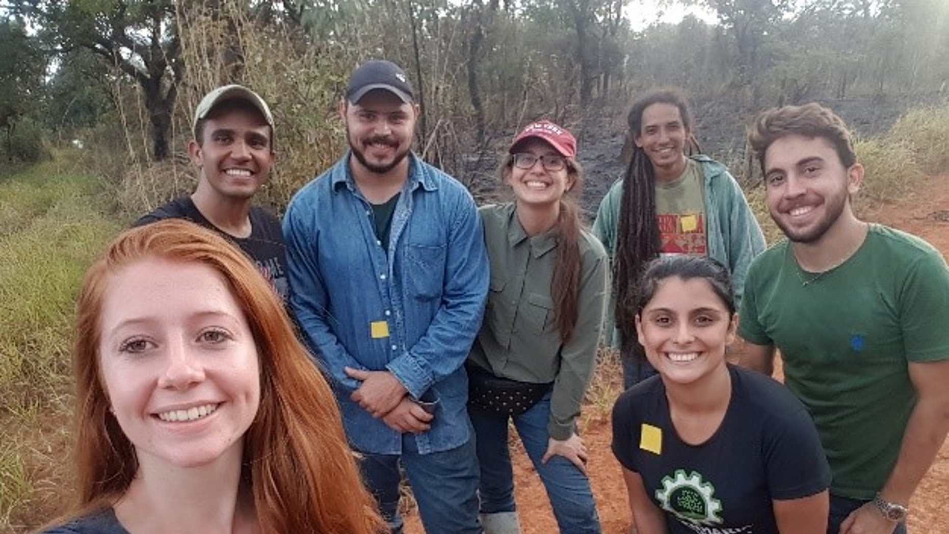
- Mapping fuel loads and simulating fire behavior and spread in the Brazilian savanna biome using NASA’s GEDI lidar data combined with modeling approaches at the Federal University of São João Del-Rei (UFSJ), Brazil.
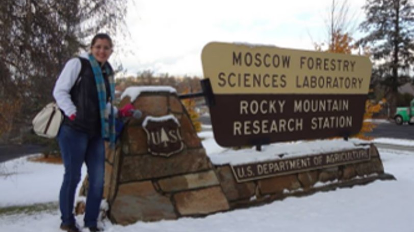
- Predicting immediate and extended fire effects at high resolution in mixed conifer forests using lidar and multispectral imagery at the Rocky Mountain Research Station (RMRS) of the USDA Forest Service.
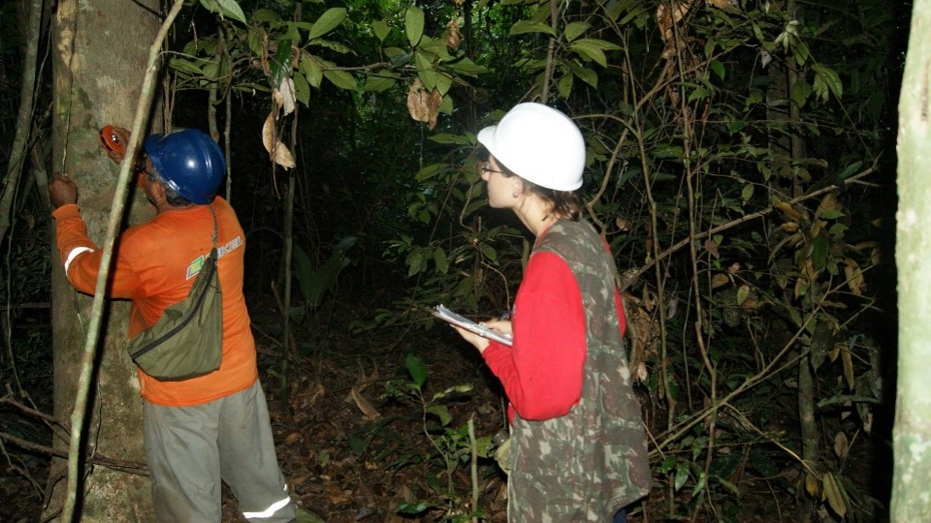
- Research on production and management of two Amazonian non-timber forest products—the cipó-titica (Heteropsis spp.) and copaiba (Copaifera spp.)—while at the University of São Paulo (ESALQ-USP), Brazil.
- Forest management and economics of non-timber forest products at Universidad Politécnica de Madrid (UPM), Spain.
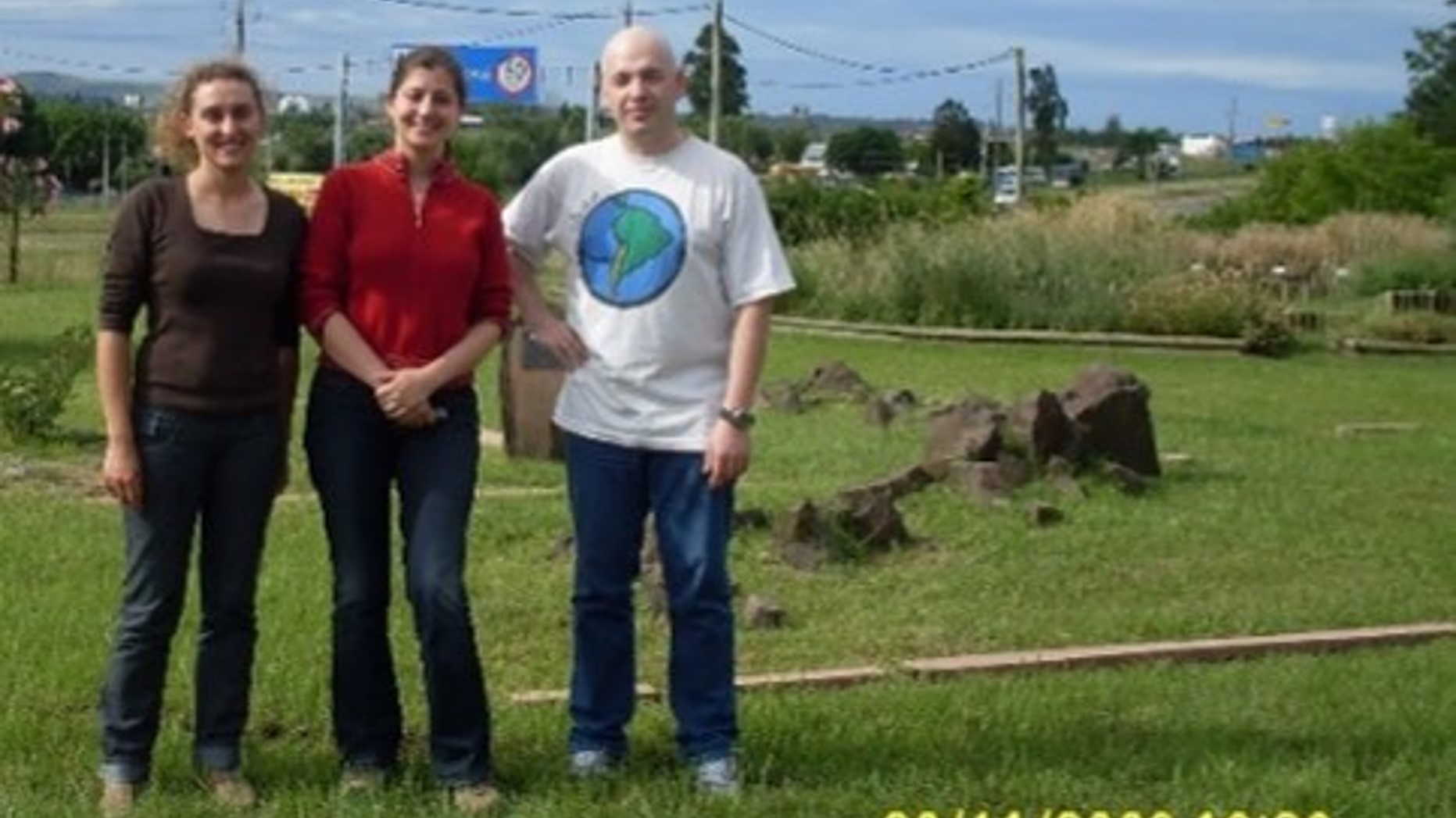
- Studying heterogeneity in babaçu palm (Attalea speciosa) forest productivity in Northeastern Brazil at Embrapa.
I am co-developer of several widely used open-source R packages, including rLiDAR (the first R package for lidar data processing), rForest (for forest mensuration and tree taper modeling), and ForestGapR (for forest gap detection and ecology). These tools have been downloaded over 100,000 times by students, researchers, and professionals worldwide, demonstrating their broad impact and utility.
Since completing my undergraduate degree in 2009, I have maintained a strong peer-reviewed publication record with 50 articles published in prestigious remote sensing and forest science journals, including Remote Sensing of Environment. I currently have one article under review and two more in preparation for submission within the next six months. My work has garnered over 4,000 citations according to Web of Science and
Google Scholar Profile (
Citations: 4478 | h-index: 33 | i10-index: 85)
Additionally, I serve as guest editor for special issues on lidar applications in forest inventory, management, and disturbance monitoring for journals such as Forests and Remote Sensing.